
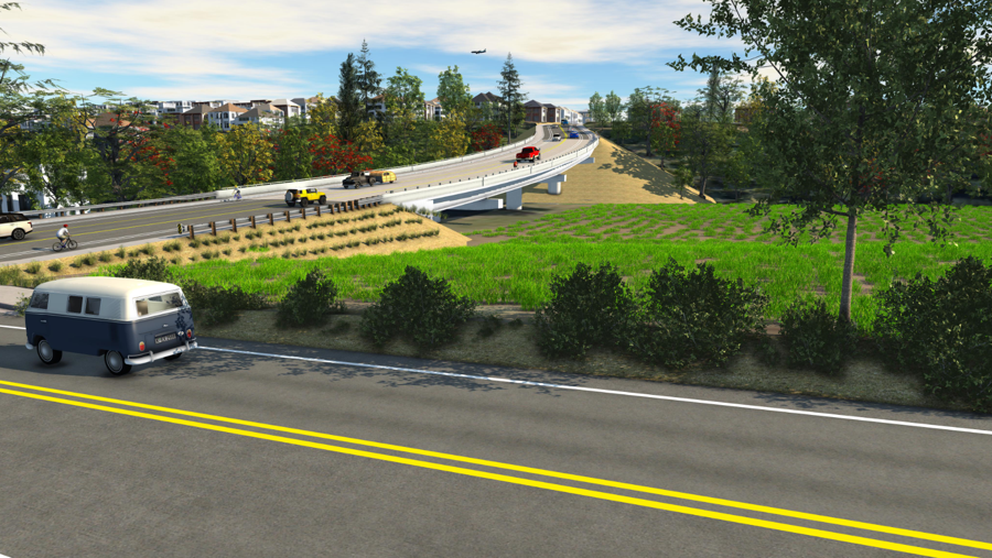
Visual simulation looking east at proposed Saltzman Road bridge from Laidlaw Road. The fill areas and bridge would be located on a THPRD-owned future natural area/wetland restoration site.

Visual simulation looking southeast at proposed Salzman Road bridge from Laidlaw Road. Tan color represents fill dirt needed to raise the street above existing grade level. The bridge spans the THPRD natural/wetland restoration site.
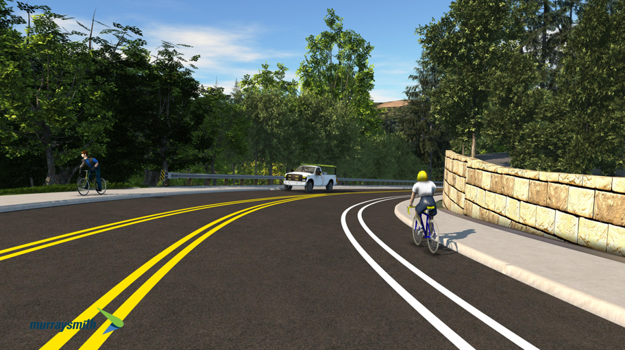
Visual simulation looking north across proposed bridge spanning natural/wetland restoration site toward Laidlaw Road and 130th Avenue. Arbor Heights is in the background.
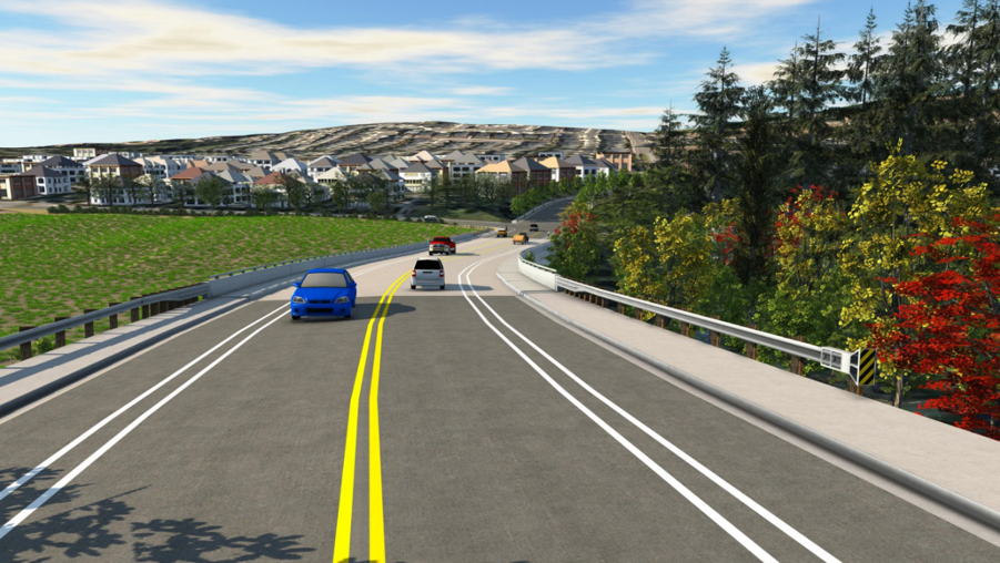
Visual simulation of proposed bridge looking north toward Laidlaw Road and 130th Avenue intersection and Arbor Heights. THPRD natural/wetland area restoration site is on both sides of the bridge. A left-turn lane is provided at Laidlaw Road.
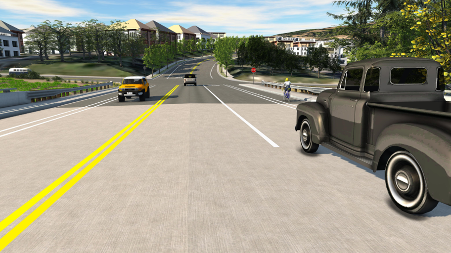
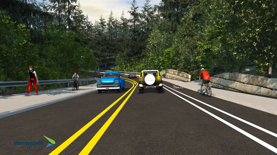
Visual simulation of proposed bridge looking south towards Bauer Highlands and Findley Heights. THPRD natural/wetland area restoration site is on both sides of the bridge.
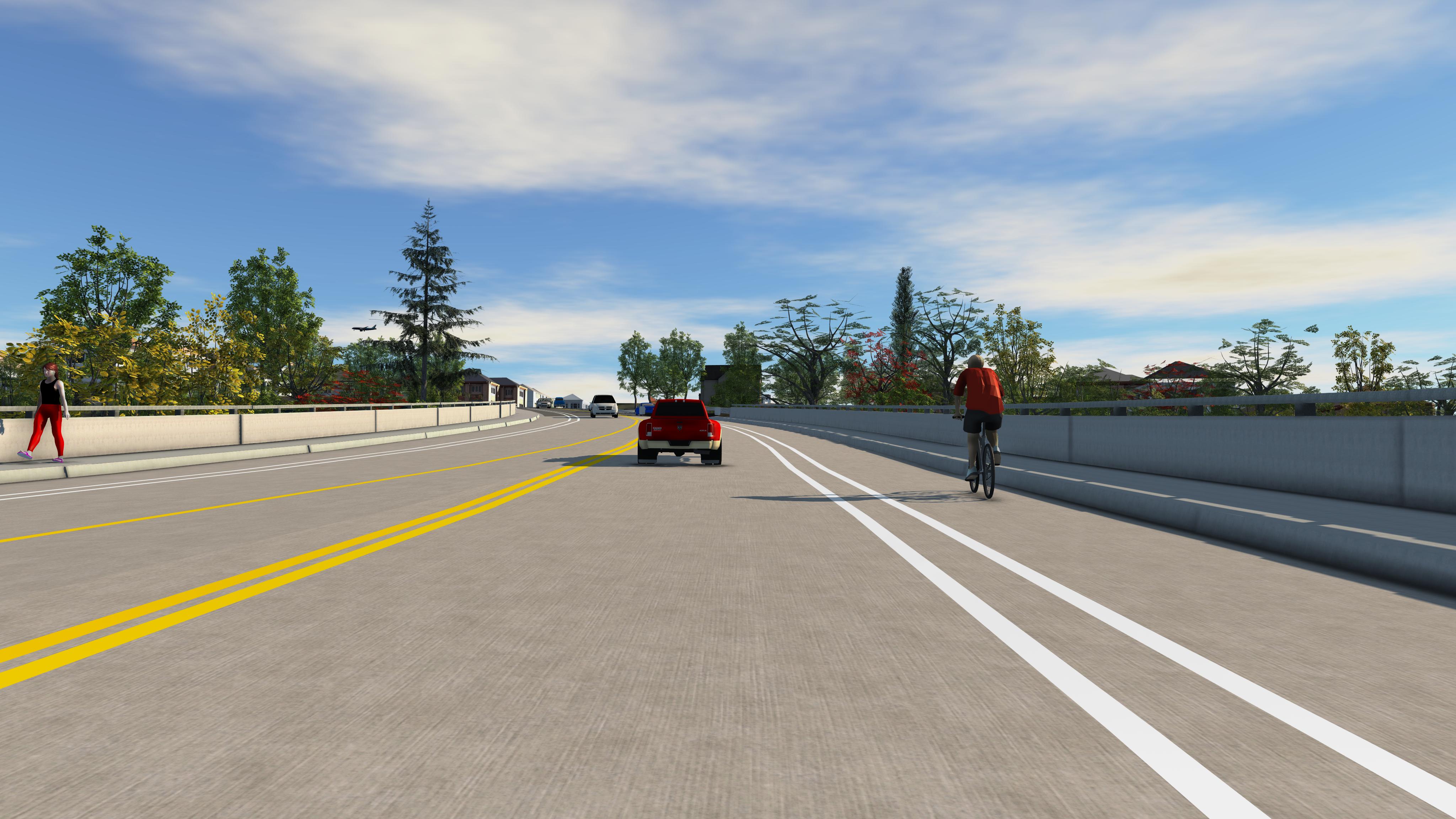
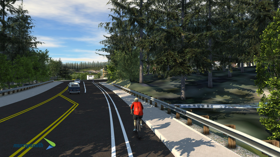
Visual simulation of proposed improved street looking north from top of the hill. Multiuse path on uphill side; on-street buffered bike lane and sidewalk on the downhill side. Center-turn lane reducing from three lanes to two.
Visual simulation of proposed improved street looking north from halfway down the hill.
Visual simulation of proposed improved street looking north from culvert toward Laidlaw Road and Bannister Drive intersection. A left-turn lane is provided at Laidlaw Road.
Visual simulation of proposed widened street looking south from halfway up the hill.

